New Zealand : Part 2
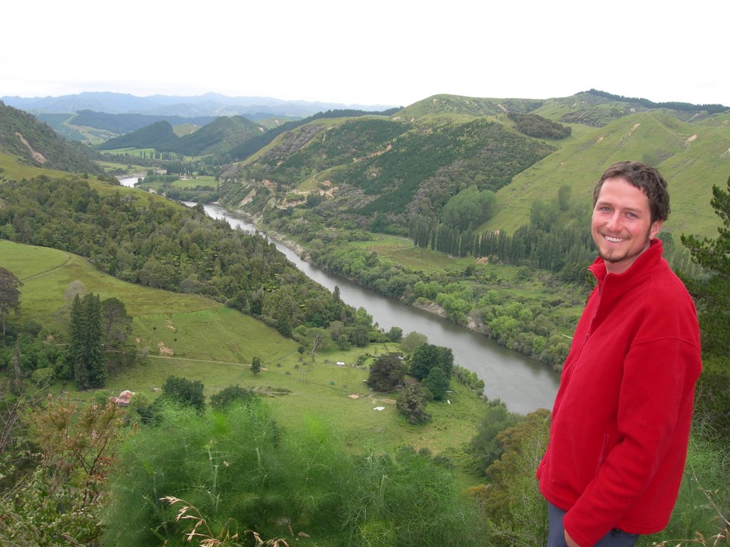
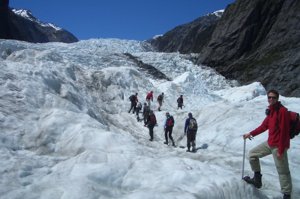
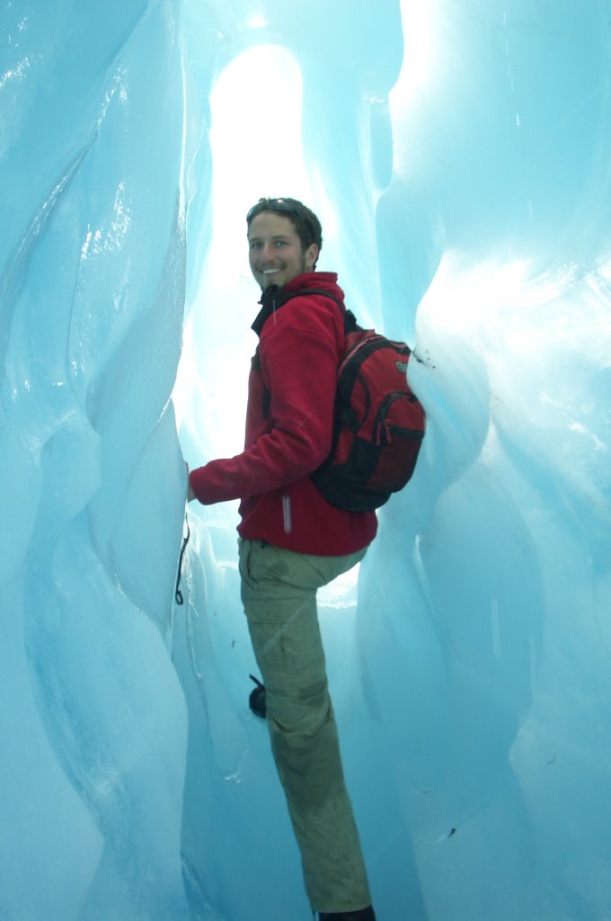
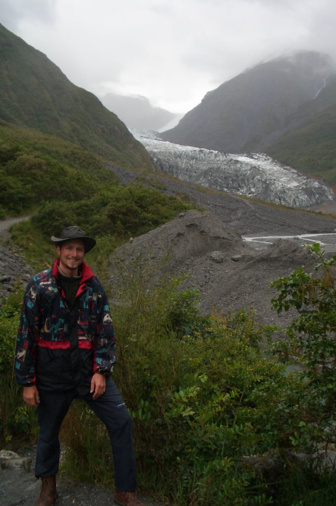
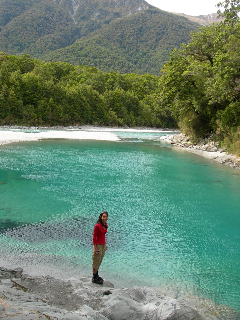
However, our luck with the weather didn't last long because the next day and pretty much most of our time in the South Island the weather was not so good with rain, cold wind, and low clouds. We paid a quick visit to Fox Glacier, dropped by a country souvenir shop in Haast and camped in Mt. Aspiring region on Christmas Eve. We both got possum skin from the Santa and were extremely happy about it. On Christmas day we visited a few natural attractions along the road and the two towns by the big lakes, Wanaka and Queenstown. There were hundreds of tourists on the street in search of very few open stores to kill time. I got a nice red fleece jumper for good price so I was very pleased with that.
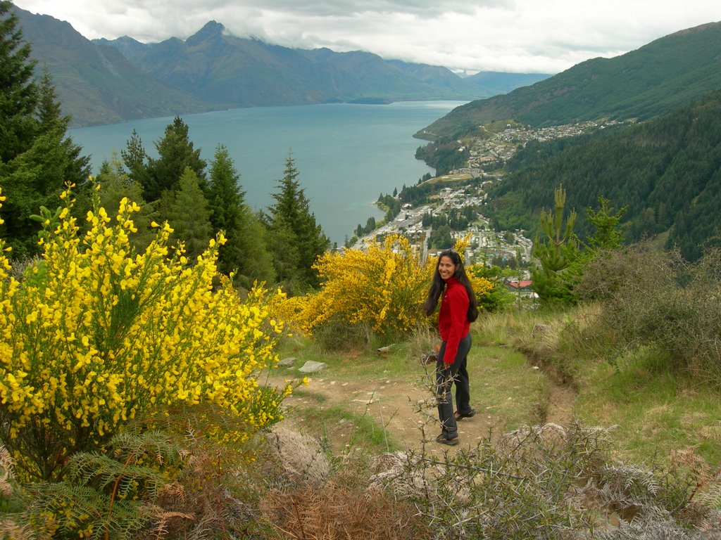
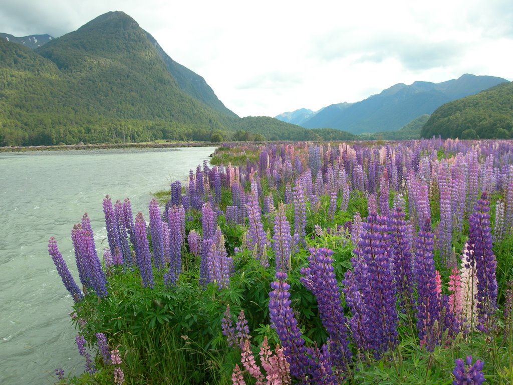
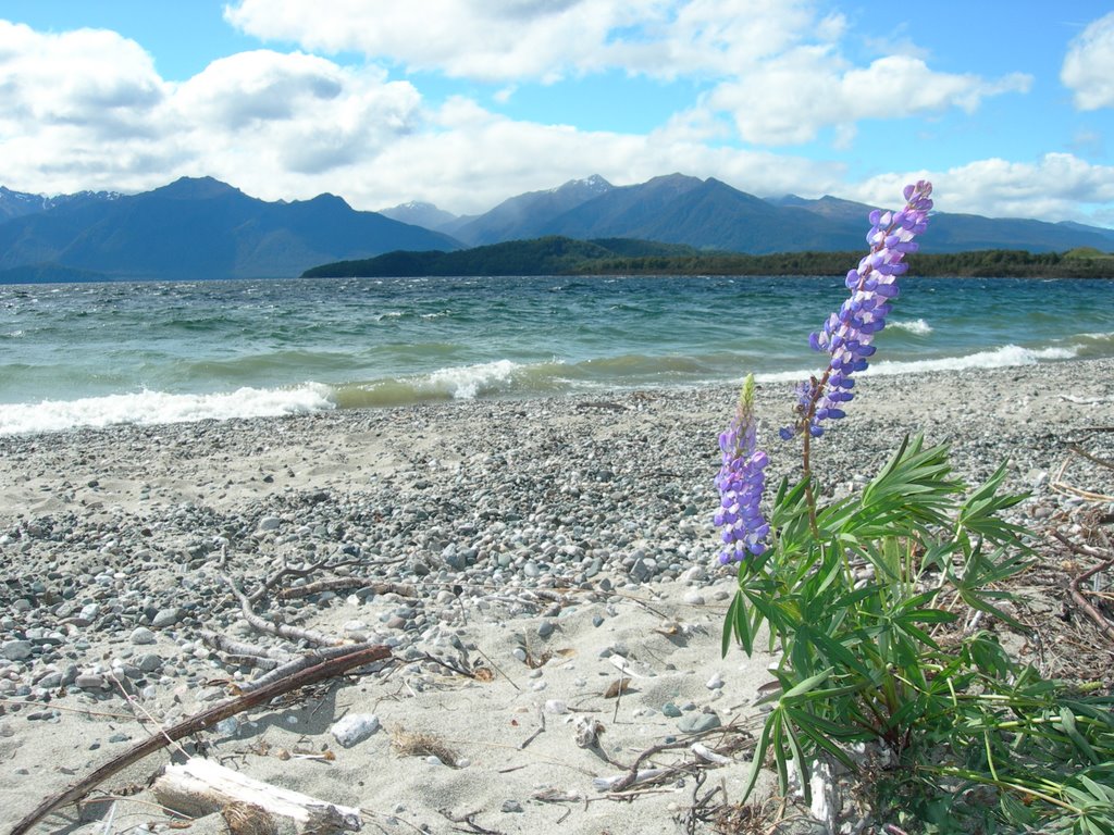
Boxing day was much better for town touring since more places are operating. We took a three hour walk up the Queenstown Hill and got a pretty impressive view of Lake Wakatipu, the city center and the Remarkables. We headed southwest to Te Anau in the afternoon, another town by the big lake but this time it's in the fiordland region. The weather at Milford has the most bizaare characteristic. In the morning we has quite a fine day with a little bit of sun at Mirror lake but when we went walking up to the Key Summit which follows small part of a Routebourn Track it was cloudy and rainy and extremely cold. We couldn't see very far but the nature walk interpretive signs pointed out interesting things about alpine vegetation that we still enjoyed the walk a lot anyway.

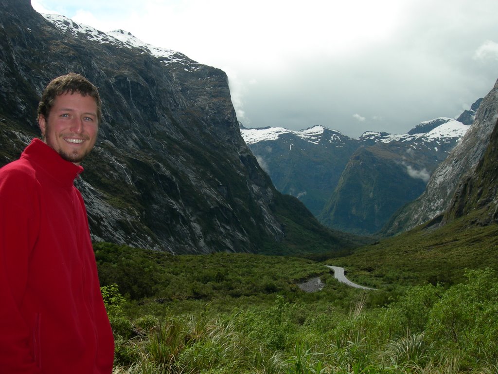
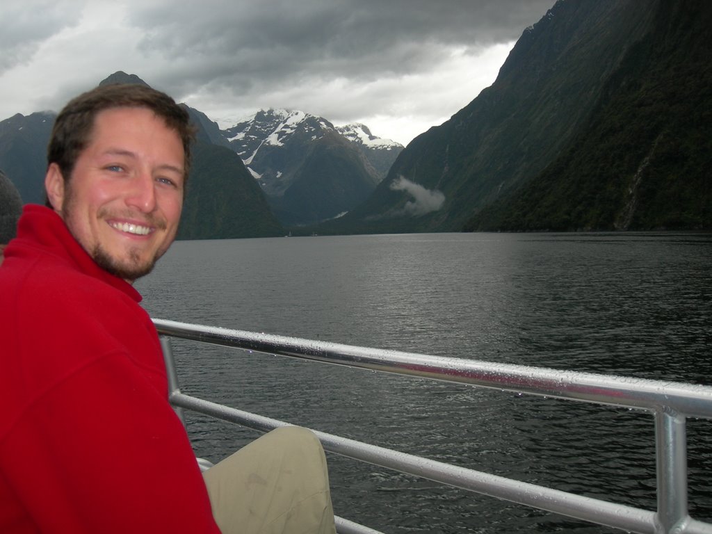
At this time of the journey we were pretty used to the fact that the rainfall here is measured in meters instead of millimeters and we just had to get on with it. So we took a two hour cruise into the Milford Sound in the next morning in what was considered a pretty alright weather. It didn't rain very hard and the clouds were not so low so we could still see and appreciate the unique characteristics of the valleys and mountains carved by the glacier in the past. The good thing was that when we left Milford for Manoupouri, we started to see the sun and blue sky again.
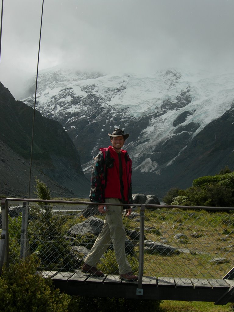
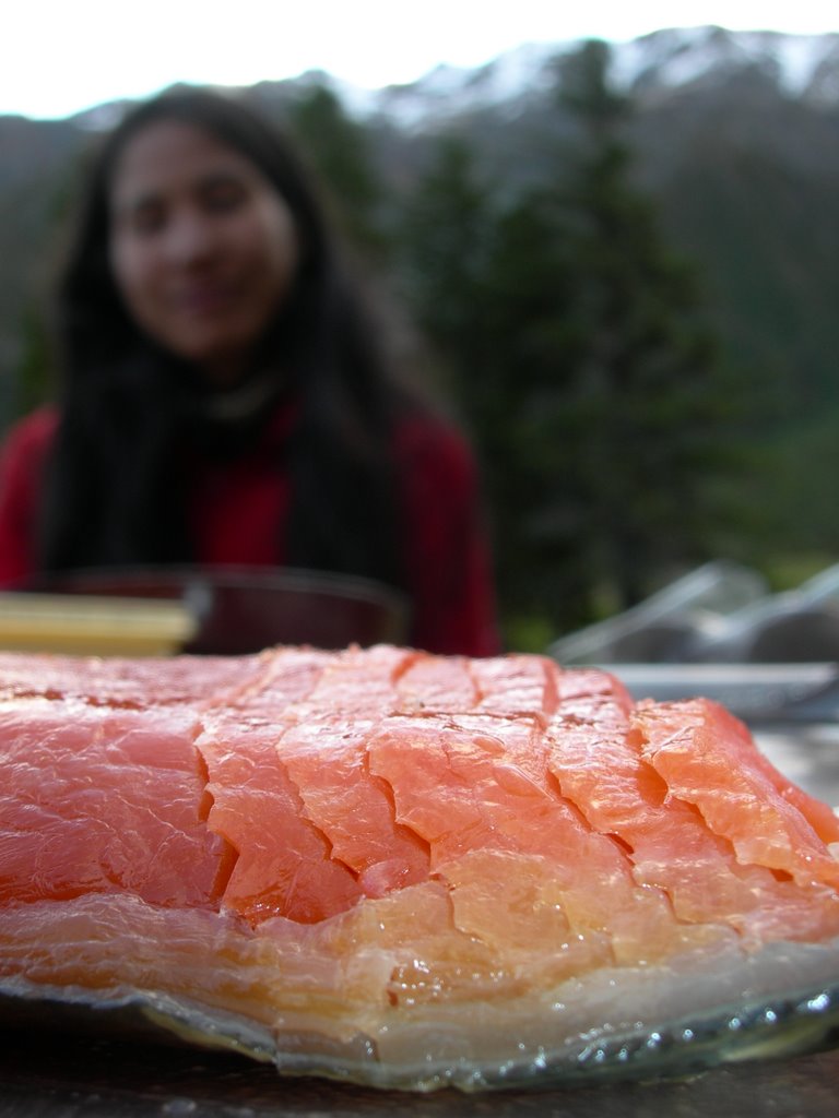
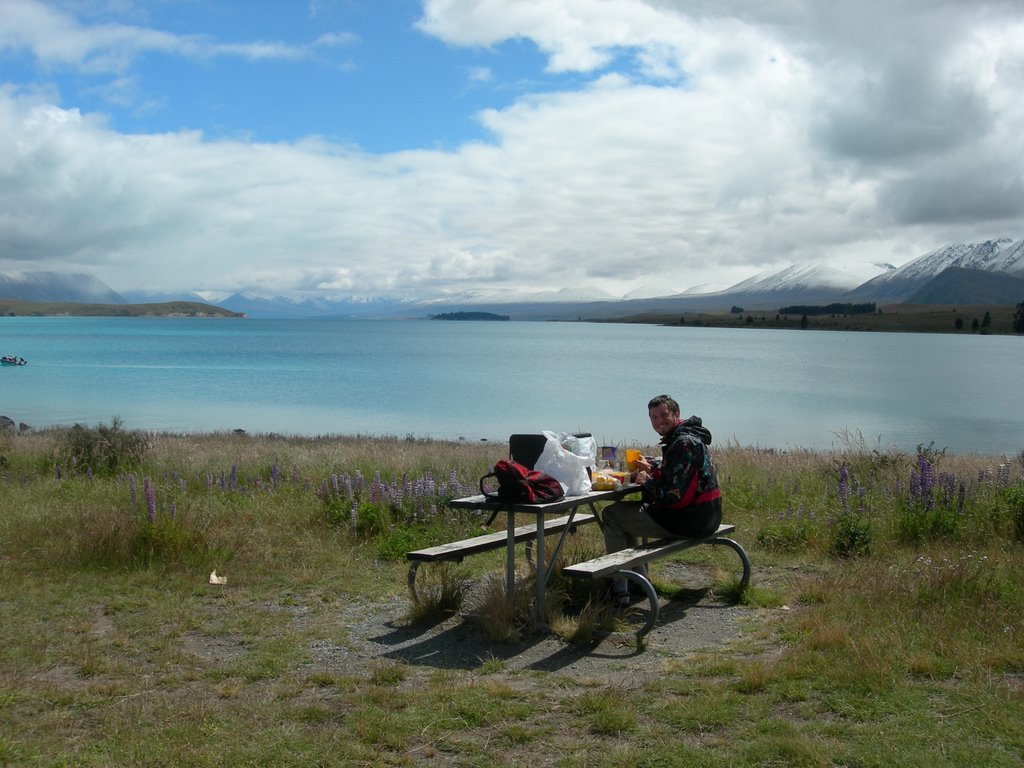
We picked a nice spot to camp out next to Lake Dunstan in Cromwell and then travelled on to Mt. Cook. We dropped by a salmon farm and picked up 400 gram of smoke salmon for dinner. Again, it rained as soon as we entered the mountainous region. Once in a while the clouds would cleared up and we could see the impressive mountians with snow top and hanging glacier. We took a three hour walk on Hooker Valley Track to see the Hooker and Mueller glacier. The walk was pretty cool despite the annoying shower and low clouds.
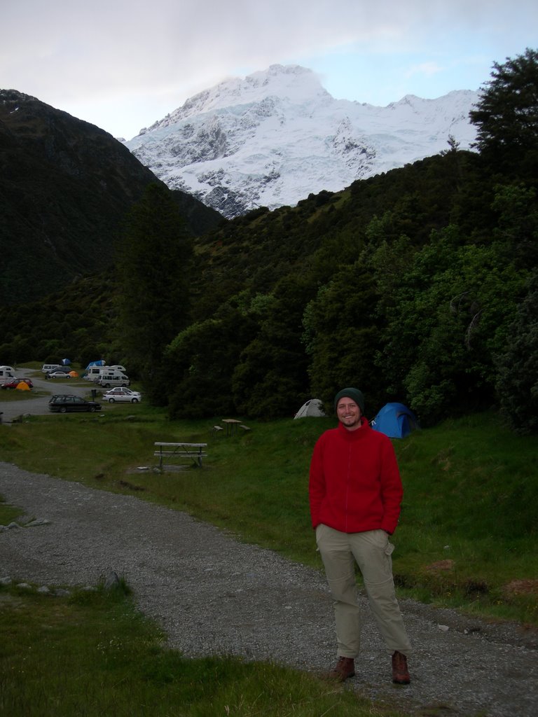
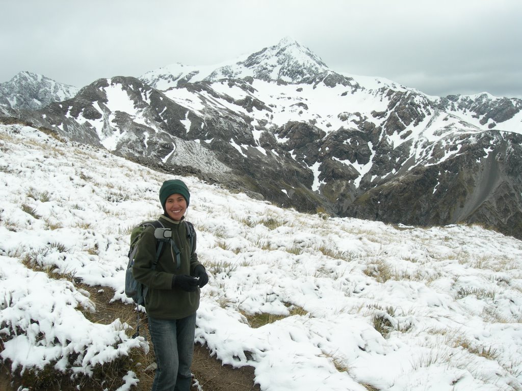
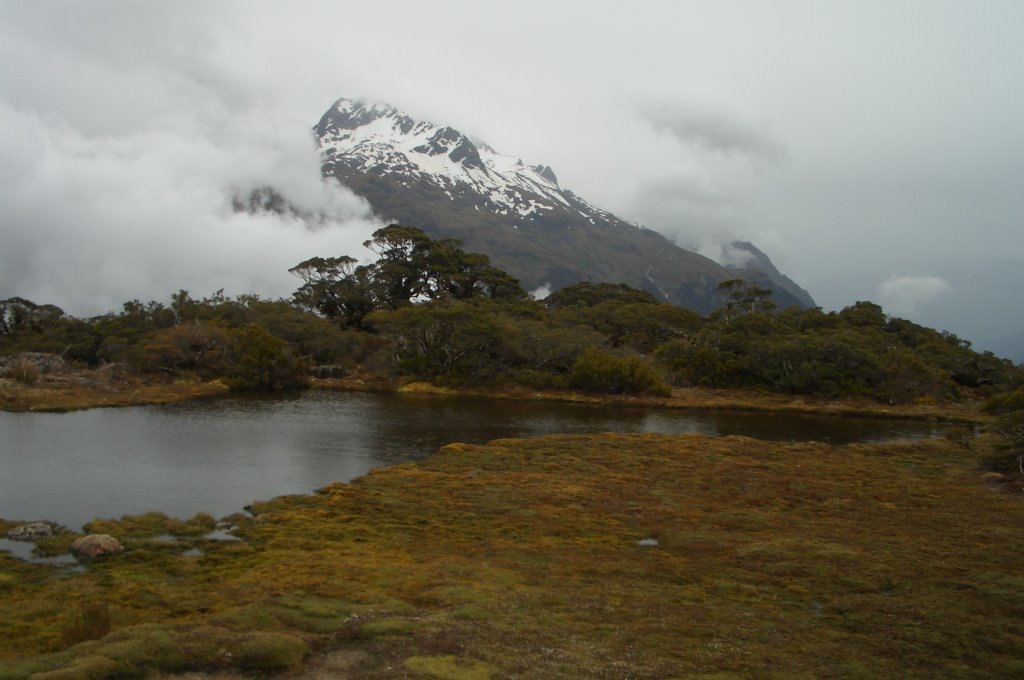
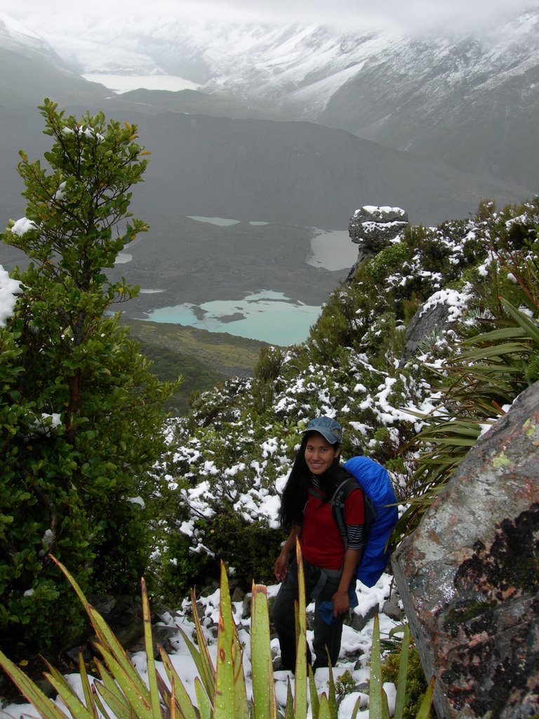
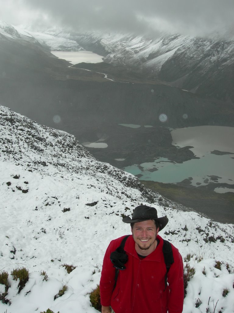
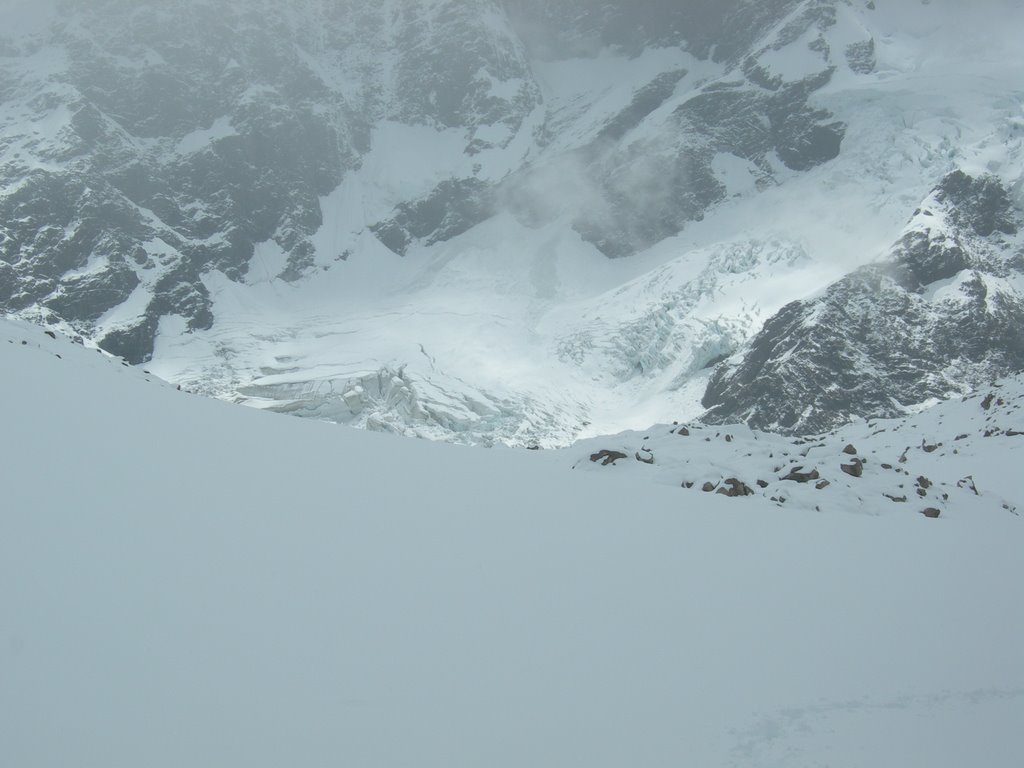
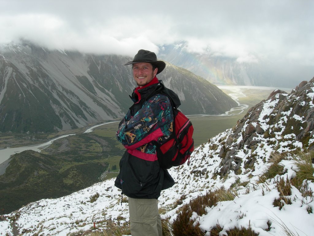
It was summer but we found ourselves snow-hiking in a snow storm on the Mueller Hut Track at Mt Cook. It was pretty challenging since we were told that ice axe and crampon would be needed for this walk and we were the first people who went on the track on that day. We didn't have the gears but still wanted to try how far we could go anyway. Luckily there was someone coming down from the hut so we could followed his path up. It would have been very hard finding the track without this guy's footsteps because when we reached about 1600 m, everything was coverend in thick snow. Everything around us were pretty much in clouds. Occasionally we heard the sound of what must have been big avalanche or ice breaking from the glacier from the other mountains or perhaps the other side of that mountain we were climbing. Anyway, we made it all the way up to the hut (1780 m)after 4 hour, took off our soaking wet socks and had nice warm bake beans and tea for lunch. The clouds did clear up a bit so we could see hanging glacier on the mountains nearby and part of Mt. Cook. There was also sunshine and blue patch in the sky for a short while but we were too tired to get out and take photo. After we finished lunch there were a lot more people arriving to the hut carrying ice axes and crampons. Gees, I wondered what they thought of us in our old hiking shoes.
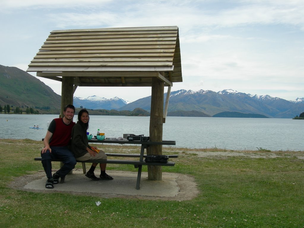
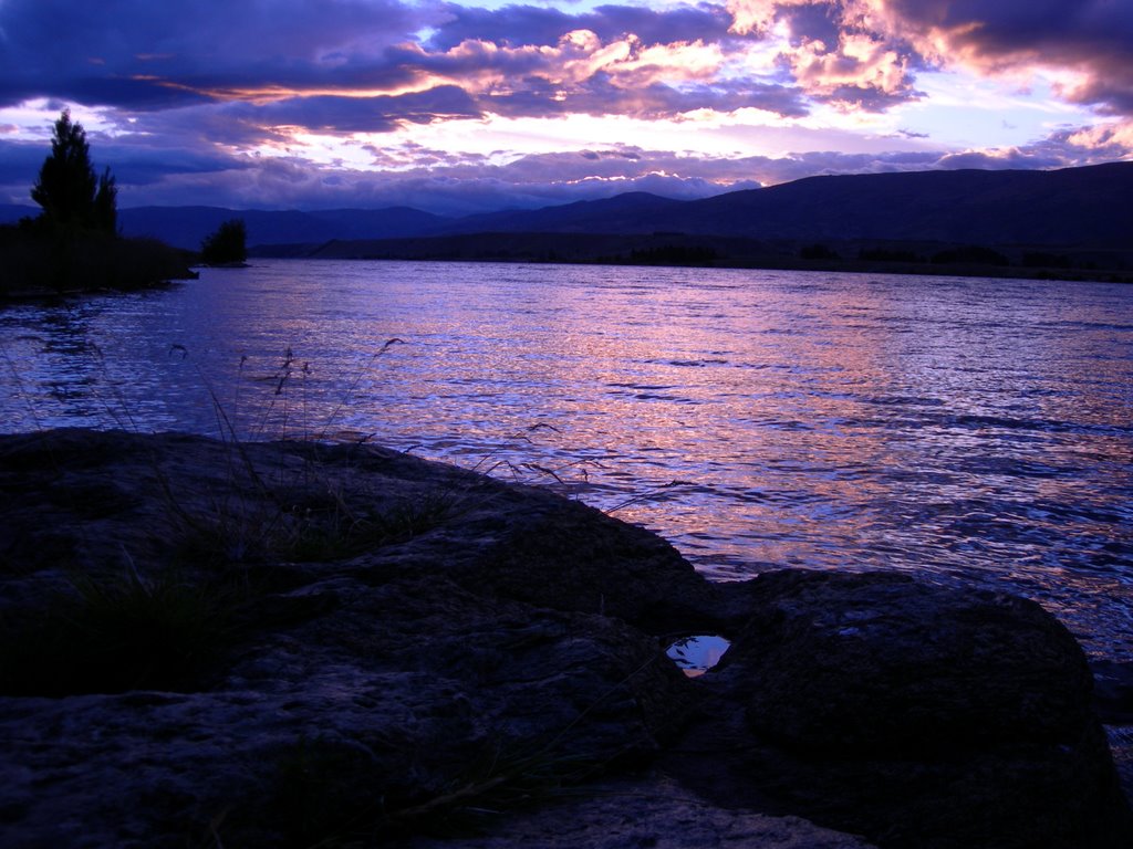
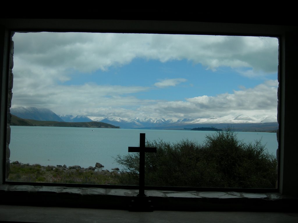
After the big hike, we drove out to camp near Lake Pukaki. On New Year Eve we had a superb lunch spot in the sund by Lake Tekapo and visited the Church of the Good Sheperd which has a big window looking out to the mountains of the Southern Alps. It was again raining most of the time when we drove through the Canterbury region up north.
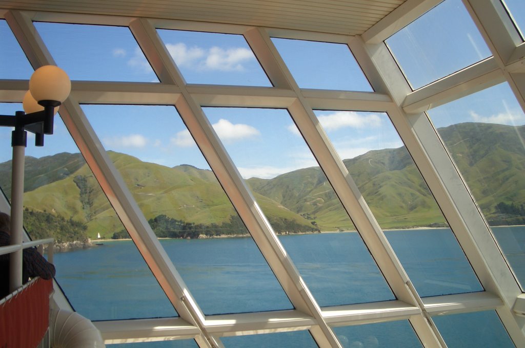
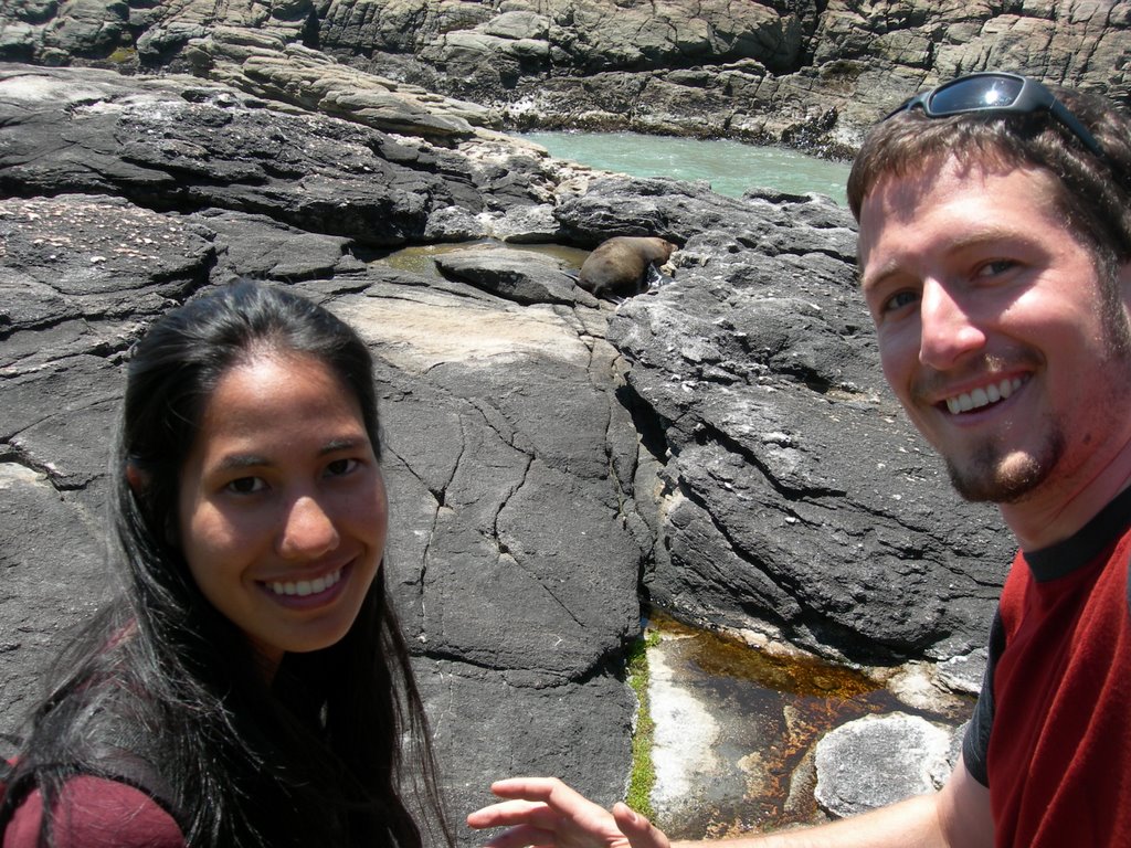
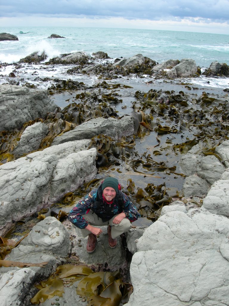
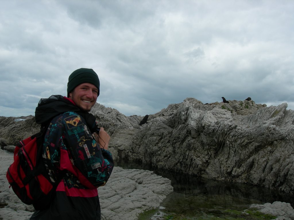
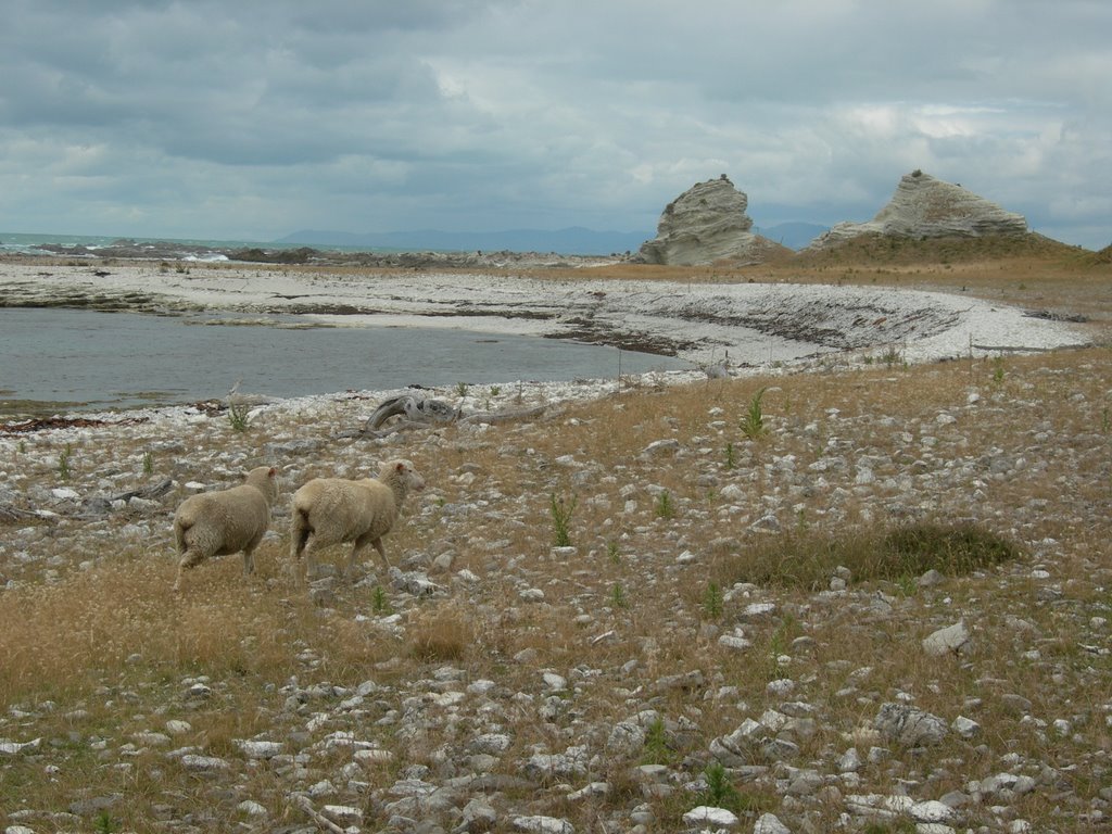
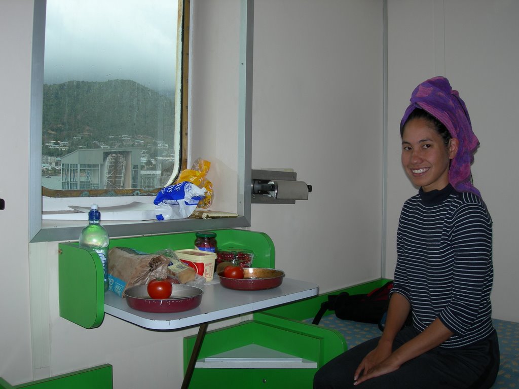
We were in Kaikoura on New Year's Day which was pretty much in clouds. We did a nice 3 hour peninsula walk and saw the seal colonies. Jo wanted to do the seal swim but due to the rough sea and bad visibility, all the tours were cancelled. The weather was still pretty bad when we took the ferry back to North Island. We were lucky that Jo found a nice cabin with two beds so we could sleep through most part of the bumpy journey. It was actually pretty luxurious, we could even take a shower.
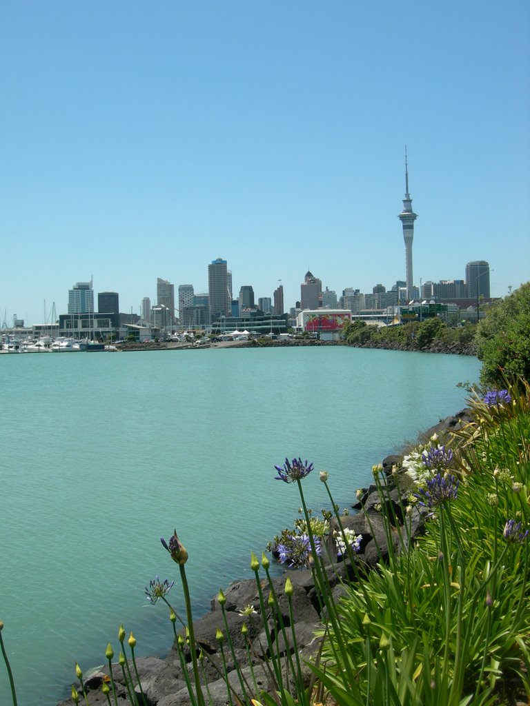
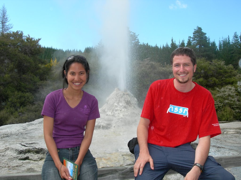
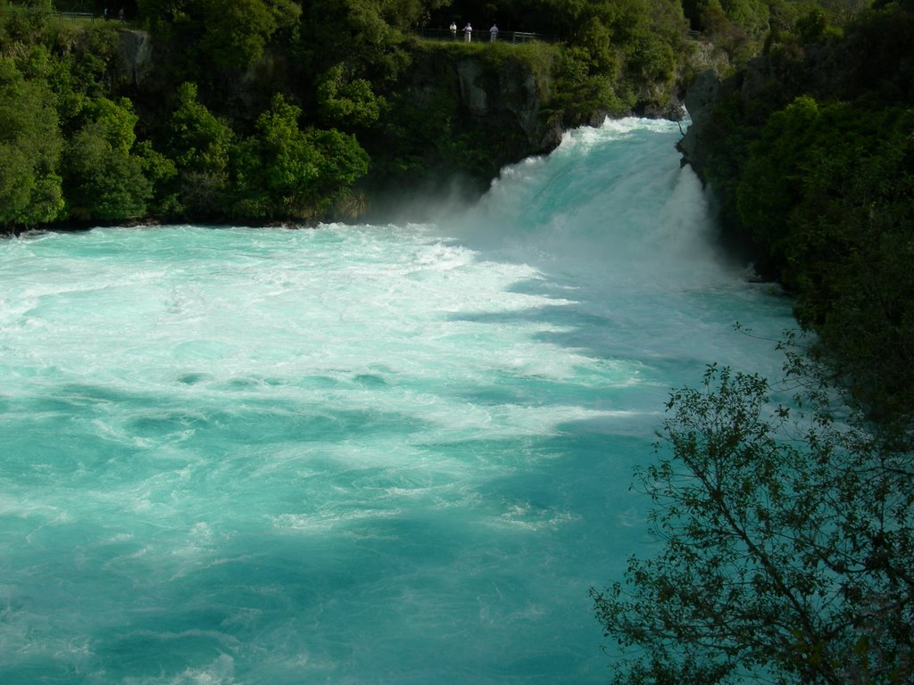
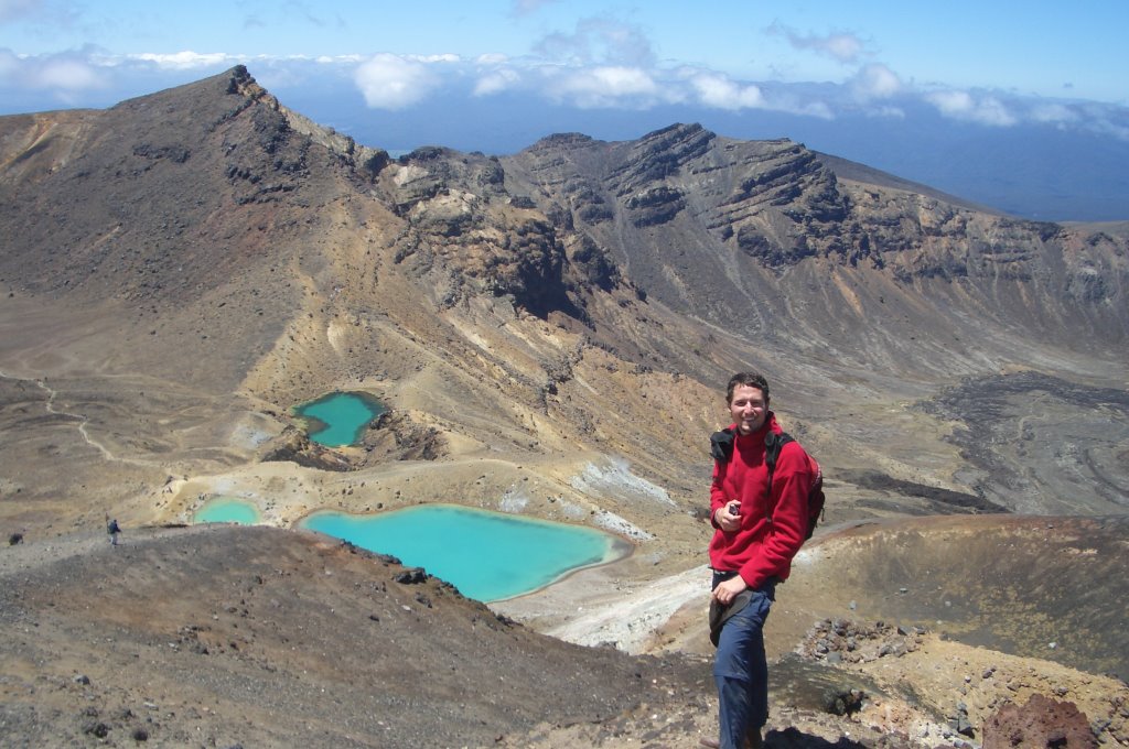
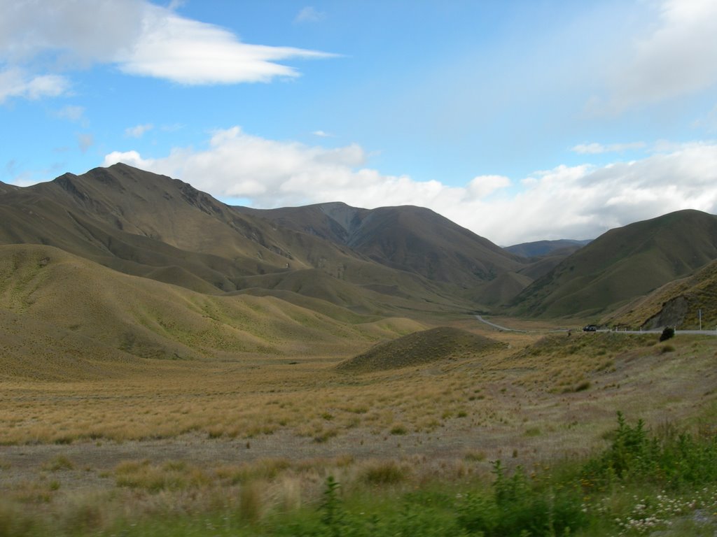
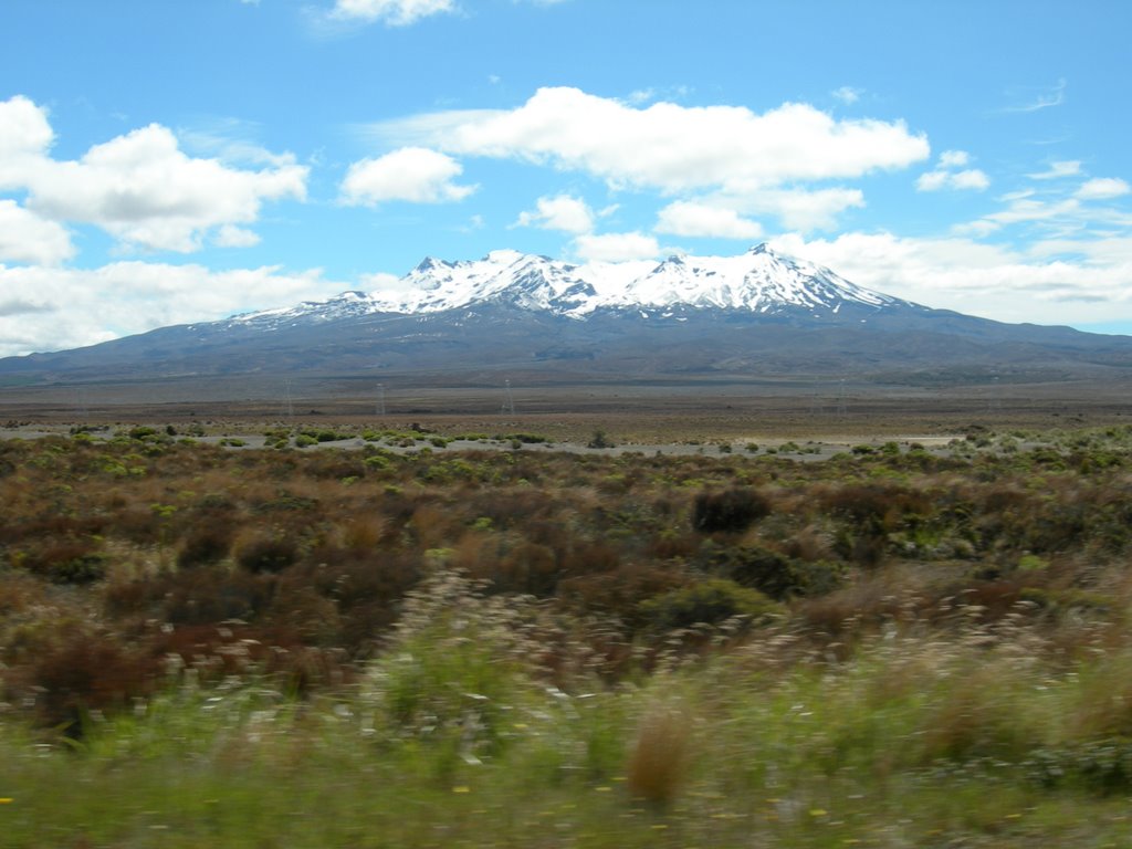
Back on the north side of Cook Strait, we took a little adventure on the very narrow and windy road in search of a campsite. The road turned out to be quite insane but rewarding in terms of the view. We drove up north through Taupo again but via a different route called the Desert Road. The scenery was spectacular with Mt. Ruapehu (2797 m) white-capped top and the desert vegetation under the blue sky. At Lake Taupo, we stopped at the same rest area as we did on our southward journey and discovered the difference. This time we could see Mt Ruapehu and other mountains of Tongariro National park in the background of the lake. The holiday parks in Taupo were pretty crowded and expensive so drove to Rotorua to stay. Somehow, the town was much bigger than how we remembered it from our first visit.


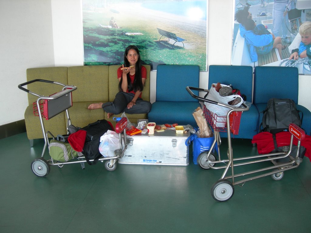
On our last day with the car, we stopped at the beautiful Hamilton Botanic Garden for lunch. We were back in Auckland by 4.30 pm. The returning of the car was as hectic and rushing as when we picked it up but since there was no trouble we couldn't really complain. We decided to spent a night at the airport to catch our flight in the early morning of the next day. Jo found us a nice comfortable counch on the top floor of the airport so we could get some sleep which we did. I'm pretty sure we made a lot of people jealous with the best spot we got and the perfect set up of sleeping bags, pillows, jo's box as a table and all the food.

Overall, it was an awesome trip. But I have to say, I am also glad to be back in Australia where rain is more scarce and sunshine is excessive. It would have been perfect if the weather of these two places can be mixed and devided by half so that we get more rain here in Brisbane and more sunshine there in New Zealand.
posted by Where I Am @ 6:45 PM
4 comments
![]()